By Smoak Real Estate Group
Bozeman makes movement part of the day through foothill trailheads, neighborhood paths, city parks, and quick access to winter terrain north of town. The city maintains 42 public parks and 52 miles of trails within city limits, while the broader Main Street to the Mountains system extends that access into the Gallatin Valley in a way that feels unusually connected to daily life.
The city and surrounding area offer a rare mix of in-town convenience and immediate mountain access.
Key Takeaways
- Trail access: In-town routes connect neighborhoods to parks, downtown, and foothill paths.
- Foothill hikes: The M, Drinking Horse, and Sourdough keep elevation close to town.
- Park options: Story Mill, Bozeman Pond, and other public spaces broaden the routine.
- Winter rhythm: Bridger Bowl and Crosscut keep cold months active and social.
Start With the Trail System You Can Use Any Day
Bozeman’s in-town trail system is one of the easiest ways to stay consistent, since it threads through neighborhoods, open space, and everyday destinations instead of sitting off by itself on the edge of town.
The routes we recommend first
- Gallagator Trail: A central route that runs diagonally through Bozeman and connects to Montana State University, downtown, Peets Hill, and Highland Glen.
- Burke Park and Peets Hill: A South Church favorite for short climbs, open views, and quick movement from nearby residential streets.
- Sourdough Trail: A flatter in-town trail along Bozeman Creek that works well for walks, runs, and neighborhood access off the south side.
- Path to the M: A shared-use route along Bridger Drive that links Story Mill Road toward the College M trailhead.
These routes make it easier to build movement into a Tuesday morning or a quick evening hour when the schedule stays full.
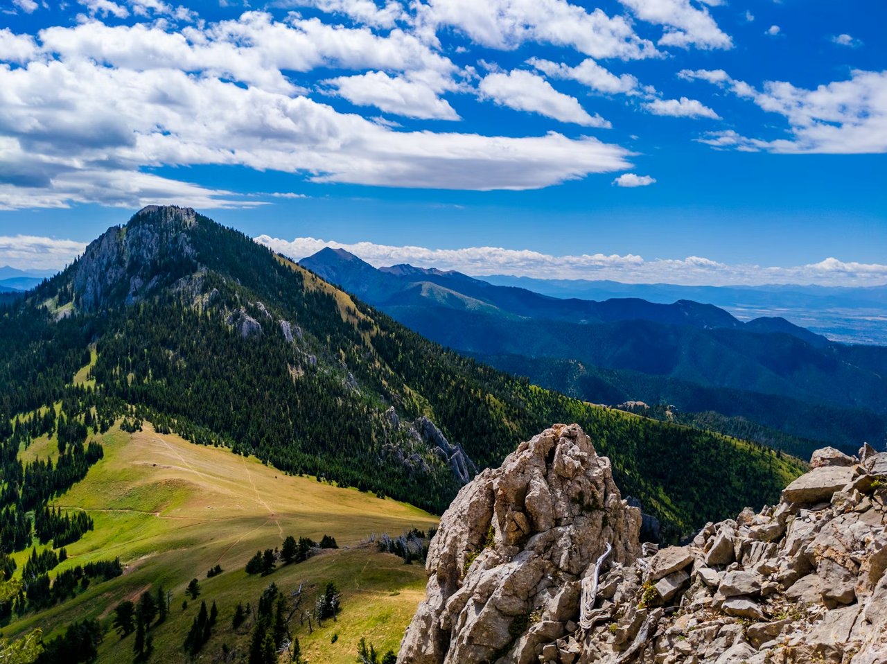
Make the Foothills Part of the Weekly Routine
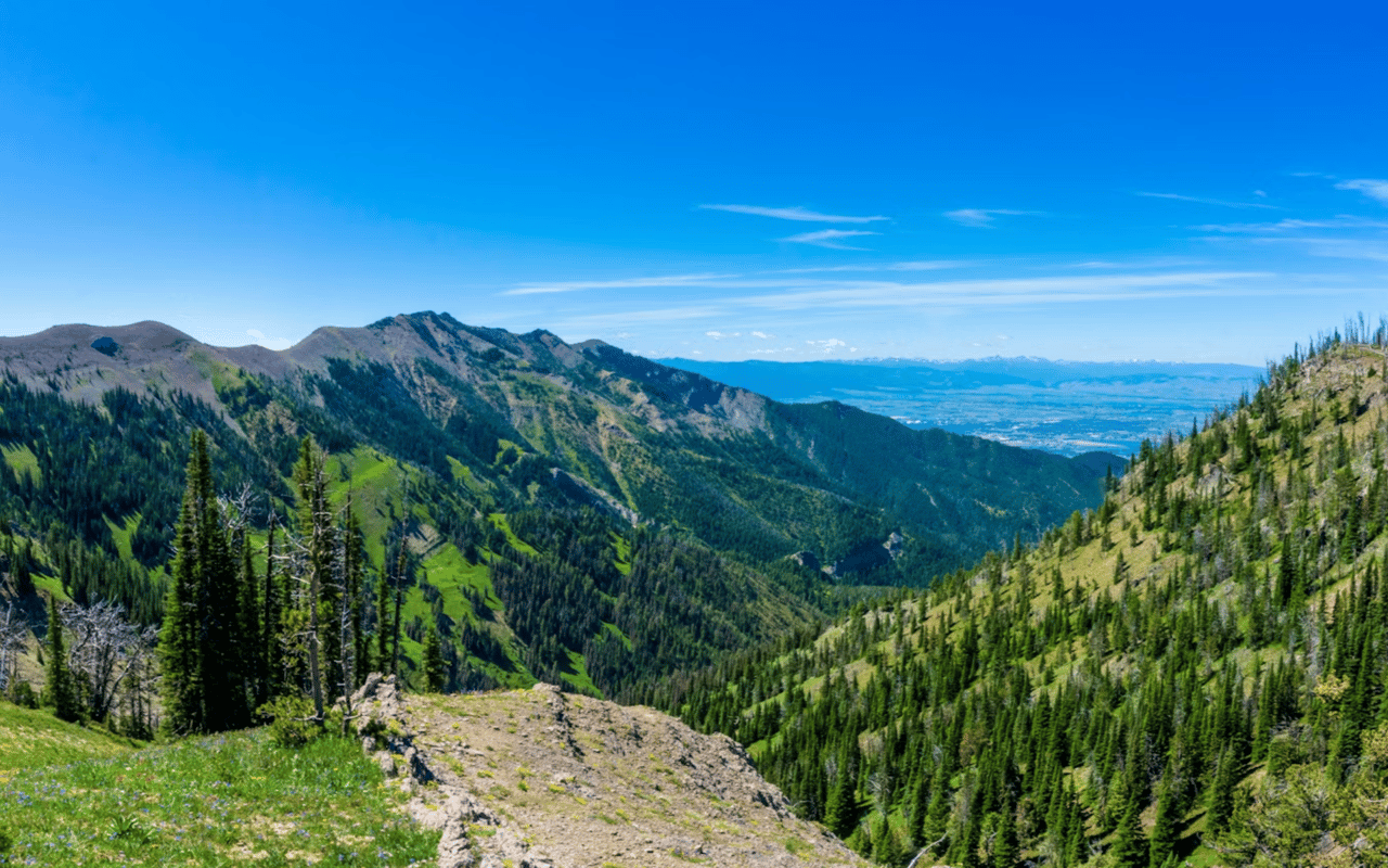
Few cities offer such direct access from town streets to foothill trails, and that proximity shapes Bozeman’s identity in a very practical way.
The foothill routes locals use most
- College M Trail: An iconic hike with multiple route options and about 750 feet of elevation gain.
- Drinking Horse Mountain: A popular trail about ten minutes from downtown with a short climb and broad views in several directions.
- Sourdough Canyon: A wider out-and-back route that follows Bozeman Creek and can extend deep toward public land.
- Bridger foothill access: Trailheads along Bridger Drive make the northeast side of town feel especially connected to the mountains.
That kind of access adds real texture to Bozeman living because the mountains stay present in the weekly routine instead of sitting at a distance on the skyline.
Use Parks and Open Space to Keep Variety in the Week
Bozeman’s park system broadens the idea of activity well beyond hiking, which matters for families, casual walkers, and anyone who wants options close to home.
The public spaces worth rotating through
- Story Mill Community Park: A 60-acre park with trails, boardwalks, restored wetlands, a scenic overlook, gardens, and community gathering space.
- Bozeman Pond Park: A west-side favorite with a fishing pond, climbing boulder, shared-use path, volleyball, and other everyday recreation features.
- Glen Lake Rotary Park: A Manley Road stop that keeps the east side connected to water, picnic space, and nearby paths.
- Citywide park network: Bozeman’s larger park-and-trail inventory makes it easy to mix shorter activity sessions into the week.
These places help Bozeman feel flexible, since one day can center on a creekside boardwalk and another on a paved path or a pond loop.
Let Winter Stay Active Instead of Slowing the Year Down
In Bozeman, winter activity has a very direct effect on lifestyle because ski terrain and Nordic options sit close enough to matter throughout the season.
The winter anchors that matter most
- Bridger Bowl: The ski area sits on Bridger Canyon Road and remains one of the city’s defining winter routines.
- Crosscut Mountain Sports Center: A year-round hub that supports Nordic skiing, snowshoeing, biking, and hiking.
- Bridger Canyon access: Northbound routes out of town keep skiing and mountain time firmly tied to Bozeman life.
- Four-season mindset: The local activity calendar keeps shifting instead of shrinking when snow arrives.
We always include cold-weather recreation in the conversation because a town that moves well in January tends to feel more complete year-round.
FAQs
What is the easiest way to build a daily active routine in Bozeman?
We usually start with the in-town trail network, especially Gallagator, Peets Hill, and Sourdough, because those routes fit naturally into a normal workday.
Which Bozeman areas feel most connected to hiking?
The northeast side near Bridger Drive and Story Mill stands out because it lines up well with the Path to the M, Drinking Horse, and the College M area. Southside streets also stay closely tied to Sourdough and Peets Hill.
How much does winter recreation matter in the local lifestyle?
It matters a great deal because Bridger Bowl and Crosscut keep the outdoor calendar moving through the colder months.
Contact Smoak Real Estate Group Today
Bozeman reveals itself best when you read the city through its trails, parks, foothill access, and winter routes, because those pieces shape how neighborhoods really function.
Reach out to us at Smoak Real Estate Group, and we will help you compare the parts of Bozeman that fit your pace, whether that means Southside trail access, a Bridger Drive location, or a west-side home near parks and open space.